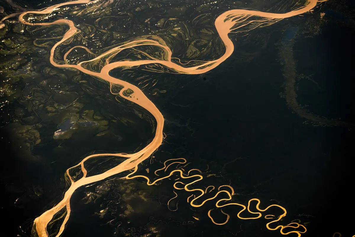
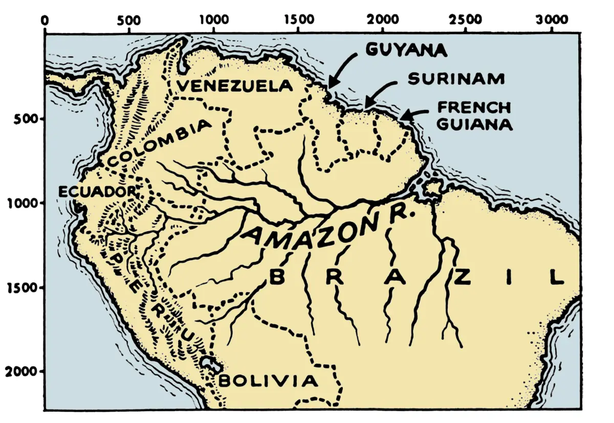
Where is the Amazon River on the map?
The Amazon River starts in the Peruvian Andes and flows east across northern South America to the Atlantic Ocean. On the way it passes Iquitos in Peru, the tri-border area around Leticia, and Manaus in Brazil. It then widens into a huge estuary near Belém. The river and the rainforest are not the same thing, and the river basin is far larger than the river itself.
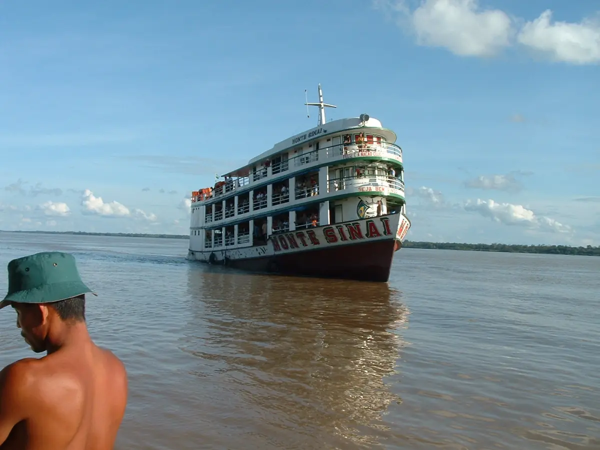
Most visitors meet the river at one of a few places. Boats and cruises start from Iquitos and Manaus, and you can compare them in our Amazon river cruise guide.
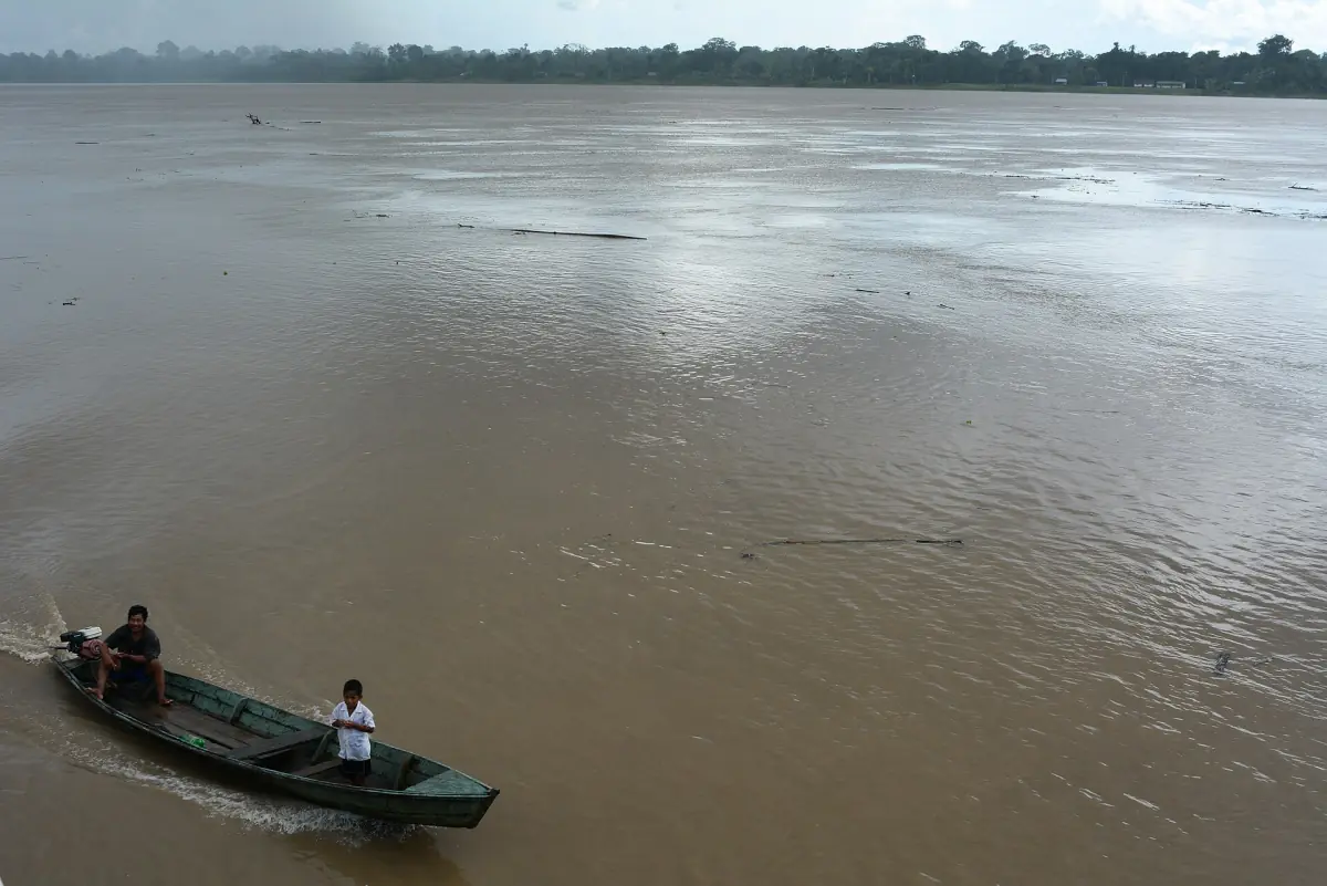
Our pick: where three countries meet
Three days from Leticia, on the river where Colombia, Brazil and Peru meet.
Hand-picked tours, booked through GetYourGuide. Prices are indicative starting prices in US dollars (as of October 2026). Tap a tour for live availability and the current price in your currency.
Amazon River tours and cruises
Boat trips, lodge stays and cruises from Manaus, Iquitos and Leticia, with live prices and availability.
Amazon River map: the course stage by stage
From the mountains to the sea.
1. The Andes and the Marañón
The river rises in the Peruvian Andes. Which stream is the source is still debated, and our Amazon River facts explain why. The Marañón is one of the large upper rivers.
2. Nauta and the Ucayali
Near Nauta the Marañón and the Ucayali meet, and the river continues as the Amazon. Boat programs in Peru start here, with a transfer from Iquitos to Nauta of about 2 hours by road. See the Iquitos guide.
3. The tri-border area
Colombia, Peru and Brazil meet around Leticia, Tabatinga and Santa Rosa. The Leticia guide explains the border towns.
4. Manaus and the Rio Negro
East of Manaus the dark Rio Negro meets the pale Solimões. Below that point the two rivers form the lower Amazon. See the Meeting of the Waters and the Manaus guide.
5. The estuary and Belém
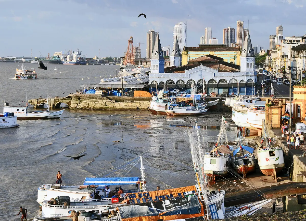
The river reaches the Atlantic through a wide estuary. Belém lies on Guajará Bay and gives access to the estuary and Marajó island. See the Belém guide.
Which countries does the Amazon River flow through?
The stretches covered on this site run through Peru, along the Colombian border area near Leticia, and through Brazil to the Atlantic. The basin is bigger than the river's path. A regional cooperation body for the basin works with Bolivia, Brazil, Colombia, Ecuador, Guyana, Peru, Suriname and Venezuela. That list covers cooperation in the region. It is not a list of the countries the main river crosses.
For jungle trips in Ecuador or Bolivia, see Ecuador and Bolivia.
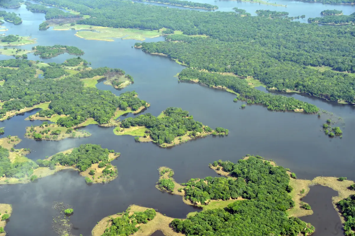
Amazon River basin: river, forest and region
Three terms get mixed up. The river is the water course. The basin is the area that drains into it. The political Amazon region is a third thing again. Different ways to draw the basin give different areas, and the figure of 6.1 million km² is one of them. Do not merge the hydrographic, biogeographic and study areas into one exact value.
Where the Amazon River meets the sea
An estuary, not a single mouth.
The Amazon does not end at one point on the coast. Belém is on Guajará Bay, part of the wider estuary, and the city is not the place where the whole main river falls into the sea. Marajó island lies in the estuary and can be reached by ferry. Treat Belém as the gateway to the estuary. Pororoca viewing near Belém is not something we can promise, so ask local operators before you plan around it.
Where is the Amazon River: frequently asked questions
Where does the Amazon River start and end?
It starts in the Peruvian Andes and ends in the Atlantic Ocean, in a wide estuary near Belém and Marajó island.
Which countries does the Amazon River cross?
The stretches covered here run through Peru and Brazil and pass the Colombian border area at Leticia. The wider basin involves more countries, such as Bolivia and Ecuador.
What is the Amazon River basin?
It is the area that drains into the river, about 6.1 million km² by one figure. Other ways to draw it give different areas.
Does the Amazon River flow through Manaus?
Manaus lies on the Rio Negro near where it meets the Solimões. Below that point the two rivers form the lower Amazon.
Does the Amazon River end at Belém?
No. Belém lies on Guajará Bay in the wider estuary. The main river reaches the Atlantic through the estuary and not at one point in the city.
Is this an official Amazon River site?
No. This is an independent travel guide, not connected to any authority, reserve or tour operator.